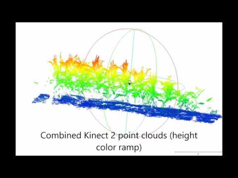
Maize captured with a low-cost 3D camera and a high-end terrestrial laser scanner. User 3DGeo Research Group on YouTube, 29 Nov 2016 This video shows 3D geodata (point clouds) of a maize crop stand which was captured with a low-cost 3D camera and a high-end…